 ECL
ECL
AI drones take over coal mines: ECL sets new green mining benchmark
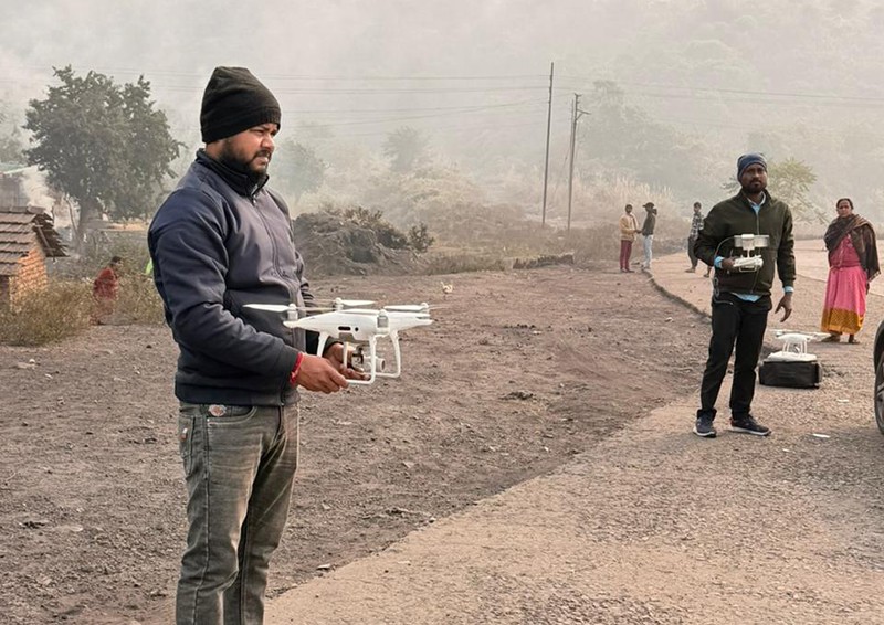
Eastern Coalfields Limited has taken a significant step towards strengthening environmental stewardship by deploying AI-driven drone monitoring in the Sonepur Bazari Area as part of a comprehensive scientific reclamation and green cover assessment initiative.
The initiative leverages high-resolution UAV surveys and advanced geospatial analytics to objectively evaluate plantation performance and ecological restoration across reclaimed mining land.
The study is being conducted by the CSIR–Central Institute of Mining and Fuel Research (CSIR-CIMFR) using state-of-the-art methodologies, including drone-based orthomosaic mapping, GIS and GPS-enabled spatial validation, vegetation health analysis through scientific indices and quadrat-based ecological surveys for robust ground-truthing.
This integrated approach enables precise, transparent and data-driven assessment of plantation survival rates, canopy development, species composition, spatial distribution and overall reclamation success. The convergence of AI and UAV technologies significantly enhances accuracy, scalability and consistency in environmental monitoring, thereby supporting informed decision-making related to mine closure planning and long-term ecological management.
Through the adoption of advanced digital tools and rigorous scientific research, ECL reaffirms its commitment to ESG compliance, sustainable mining practices and transparent environmental governance. The initiative establishes a new benchmark for the application of digital technologies in ecological restoration within the mining sector, underscoring ECL’s role as a forward-looking and responsible public sector enterprise.
Support Our Journalism
We cannot do without you.. your contribution supports unbiased journalism
IBNS is not driven by any ism- not wokeism, not racism, not skewed secularism, not hyper right-wing or left liberal ideals, nor by any hardline religious beliefs or hyper nationalism. We want to serve you good old objective news, as they are. We do not judge or preach. We let people decide for themselves. We only try to present factual and well-sourced news.
Support objective journalism for a small contribution.