


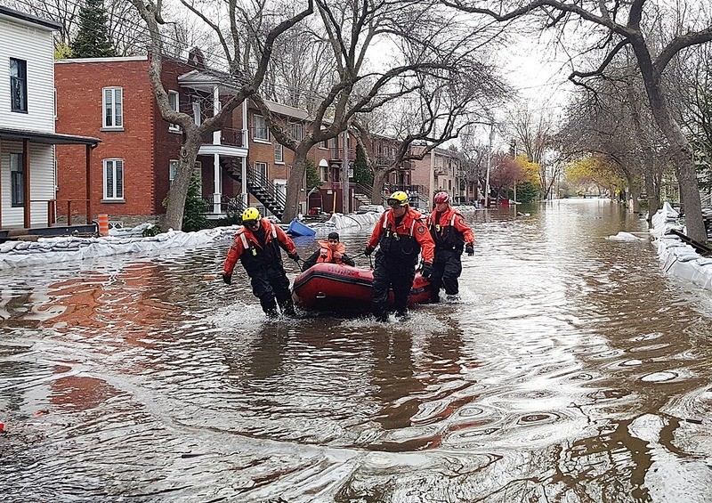
 Canada Floods
Canada launches national Flood Risk Finder to boost awareness and preparedness
Ottawa: Canada launches national Flood Risk Finder, a national platform designed to give the public clear, accessible information on flood risks and hazards across the country.
Public Safety Canada said the platform is the first of its kind in Canada, offering a centralized and consistent source of flood risk data.
Provinces and territories can now opt in to make their local data available through the portal, with broader public rollout expected as jurisdictions join the system.
Minister Eleanor Olszewski said the initiative is aimed at improving public awareness and strengthening national resilience to increasingly frequent and severe flooding events.
The tool allows users to search by address and view flood risk levels on a four-point scale, ranging from low to extreme.
According to a statement, it designed to complement existing provincial and local data while addressing gaps that have made flood risk information difficult to access or interpret.
Flood risk management in Canada is shared across federal, provincial and territorial governments.
Ottawa said it will work with provinces and territories over the summer to expand participation and ensure wider availability of data on the platform.
The government is also encouraging homeowners, renters and businesses to use the tool to better understand their exposure and take steps to reduce potential damage from flooding.
Support Our Journalism
We cannot do without you.. your contribution supports unbiased journalism
IBNS is not driven by any ism- not wokeism, not racism, not skewed secularism, not hyper right-wing or left liberal ideals, nor by any hardline religious beliefs or hyper nationalism. We want to serve you good old objective news, as they are. We do not judge or preach. We let people decide for themselves. We only try to present factual and well-sourced news.
Support objective journalism for a small contribution.


