 Rains
Rains
Widespread rains to lash peninsular India, sub-Himalayan areas
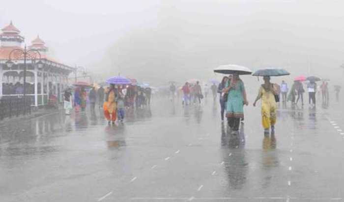
New Delhi/UNI: The India Meteorological Department on Monday said that due to a ‘low-pressure area’ over the East-central Arabian Sea off Karnataka coast with the associated cyclonic circulation, fairly widespread rain will lash entire peninsular India during next four-five days.
“Heavy rainfall at isolated places also very likely over Karnataka, Kerala and Mahe till September 11, over Tamilnadu, Puducherry and Karaikal till September 9 and Isolated heavy to very heavy falls also very likely over Coastal Karnataka on September 7, 9 and 10 while over Kerala and Mahe on September 7 and 8," the IMD said.
The weather bureau also predicted that the western end of monsoon trough at mean sea level lies near normal position and its eastern end lies north of its normal position.
The eastern end of monsoon trough is likely to be north of its normal position or along the foothills of Himalayas during the next five days.
“Fairly widespread to widespread rainfall with thunderstorm and lightning and heavy rainfall at isolated places over Sub-Himalayan West Bengal and Sikkim and northeastern States till 11 September while isolated heavy to very heavy falls are also very likely over Sub-Himalayan West Bengal,Sikkim,Assam and Meghalaya on Monday," the IMD said in its forecast.
The national weather bureau also said that moderate to severe thunderstorm with lightning are expected at isolated places over Bihar, Chhattisgarh, Jharkhand, Odisha, Maharashtra, Sub-Himalayan West Bengal, Sikkim, Assam, Meghalaya, Rajasthan, Uttar Pradesh, Punjab, Haryana, Chandigarh, Delhi, Madhya Pradesh, Karnataka, Kerala and Mahe, Tamilnadu, Puducherry and Karaikal during next 12 hours
The ‘low-pressure area’ being formed over East-central Arabian Sea off Karnataka coast, has been extending upto 3.1 km above mean sea level.
It is very likely to weaken over the same region during the next 24 hours.
An east-west shear zone runs roughly along 13°N across the cyclonic circulation associated with the above low-pressure area at 3.1 km above mean sea level. It is very likely to persist during the next three-four days, the bureau added.
Support Our Journalism
We cannot do without you.. your contribution supports unbiased journalism
IBNS is not driven by any ism- not wokeism, not racism, not skewed secularism, not hyper right-wing or left liberal ideals, nor by any hardline religious beliefs or hyper nationalism. We want to serve you good old objective news, as they are. We do not judge or preach. We let people decide for themselves. We only try to present factual and well-sourced news.
Support objective journalism for a small contribution.