 Cyclone Tauktae
Cyclone Tauktae getting weaker, lay centred over Saurashtra: IMD
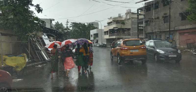
New Delhi/UNI: Indian Meteorological Department (IMD) on Tuesday said that the cyclonic storm Tauktae is getting weaker and lay centred over Saurashtra, about 160 km southwest of Ahmedabad, 75 km south of Surendranagar and 45 km Northeast of Amreli in Gujarat.
According to IMD’s latest update at 1330 hrs, it would move north-northeastwards and to weaken gradually into a deep depression during next six hours, bringing light to moderate rainfall at many places with heavy to very heavy falls at isolated places over Gujarat region, including Saurashtra today.
Gale wind speed reaching 80-90 kmph gusting to 100 Kmph is likely to prevail over Gulf of Khambat and adjoining northeast Arabian Sea during next six hours. It is likely to reduce gradually thereafter whereas squally wind speed reaching 40-50 gusting to 60 kmph along and off extreme north Maharashtra coast during next six hours.
Gale winds speed reaching 80-90 kmph gusting to 100Kmph likely to prevail over Amreli, Bhavnagar, Botad, 70-80 kmph gusting to 90 kmph over Surendranagar, Rajkot, Anand, South Ahmedabad, 55-65 kmph gusting to 75 kmph over Diu, Gir Somnath,Junagarh, Kheda, Bharuch, Jamnagar, Porbandar &Morbi during next six hours and gradually decrease thereafter.
Squally wind speed reaching 45-55 kmph gusting to 65kmph likely to prevail along and off Dadra, NagarHaveli, Daman, Valsad, Navsari, Surat districts and 35-45 kmph gusting to 55 kmph over Devbhoomi Dwarka & Kutch during next six hours and gradually to decrease thereafter.
Squally wind speed reaching 45-55 kmph gusting to 65 Kmph is likely to prevail over South Rajasthan from the evening of May 18 to 19th early morning.
The national weather department also forecast that the tidal wave above astronomical tide is likely to inundate coastal areas during next three hours wherein about 1-2 meter high over Anand, Amreli, Gir Somnath, Diu & Bhavnagar, Bharuch, southern parts of Ahmedabad.
Support Our Journalism
We cannot do without you.. your contribution supports unbiased journalism
IBNS is not driven by any ism- not wokeism, not racism, not skewed secularism, not hyper right-wing or left liberal ideals, nor by any hardline religious beliefs or hyper nationalism. We want to serve you good old objective news, as they are. We do not judge or preach. We let people decide for themselves. We only try to present factual and well-sourced news.
Support objective journalism for a small contribution.