


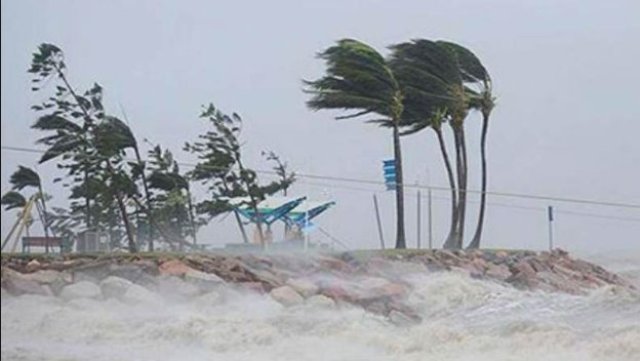
Severe Cyclonic Storm ‘PHETHAI’ over west central Bay of Bengal weakens into a cyclonic storm over west central Bay of Bengal
New Delhi, Dec 17 (IBNS) : The Severe Cyclonic Storm ‘PHETHAI’ over westcentral Bay of Bengal moved further northwards with a speed of 24 kmph, weakened into a cyclonic storm and lay centred over westcentral Bay of Bengal 370 km north-northeast of Chennai (Tamil Nadu), 120 km east-southeast of Machilipatnam (Andhra Pradesh) and 130 km south of Kakinada (Andhra Pradesh).
It is very likely to move nearly northwards and cross Andhra Pradesh coast around Kakinada during 17th December afternoon. However, due to unfavourable environmental conditions, it is likely to slightly weaken further before landfall and cross coast as a cyclonic storm with a wind speed of 70-90 kmph gusting to 100 kmph.
Cyclone ‘PHETHAI’ is also being tracked by DWR Chennai, Machilipatnam and Vishakhapatnam apart from Satellite and other observations.
According to weather office forecast, it will cause rainfall with heavy to very heavy falls at a few places over coastal Andhra Pradesh and extremely heavy falls at isolated places over north coastal Andhra Pradesh (East & west Godavari, Vishakhapatnam, Krishna, Guntur, Vizianagaram & Srikakulam Districts) and Yanam district of Puducherry.
It will also trigger isolated heavy to very heavy in Odisha and heavy rainfall in Jharkhand. Rainfall at most places with isolated heavy falls has also been predicted for Chhattisgarh and Gangetic West Bengal.
Support Our Journalism
We cannot do without you.. your contribution supports unbiased journalism
IBNS is not driven by any ism- not wokeism, not racism, not skewed secularism, not hyper right-wing or left liberal ideals, nor by any hardline religious beliefs or hyper nationalism. We want to serve you good old objective news, as they are. We do not judge or preach. We let people decide for themselves. We only try to present factual and well-sourced news.
Support objective journalism for a small contribution.