

 Indian Map
India’s big message after UN map vote: ‘J&K, Ladakh must be shown correctly’
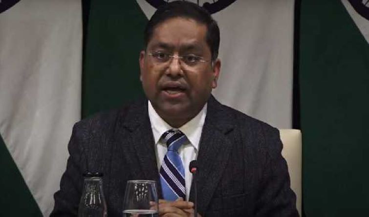
India on Sunday said its Union Territories of Jammu and Kashmir and Ladakh must be properly depicted in the UN-initiated proposed world map.
The Ministry of External Affairs (MEA) made the statement after India voted in favour of a United Nations General Assembly resolution backed by the African Union that seeks to promote more accurate representations of the relative sizes of continents on world maps.
MEA spokesperson Randhir Jaiswal said the UN General Assembly adopted the resolution, titled “Correct the Map: Rebalancing Global Cartographic Representation and Promoting Equitable Representation of the World’s Regions, Particularly Africa,” on September 4, 2026.
“Its purpose is to encourage the use of equal-area map projections that preserve the relative sizes of continental landmasses,” Jaiswal said.
He clarified that the resolution does not endorse any particular world map or address political cartography.
Our response to media queries regarding a UN General Assembly resolution on equal-area world map ⬇️
— Randhir Jaiswal (@MEAIndia) September 6, 2026
🔗 https://t.co/sAnpGhX3fA pic.twitter.com/Cfyn3jMcOG
“The resolution neither adopts nor authenticates any particular world map, nor does it address political cartography, including international boundaries, disputed territories or place names,” he said.
Explaining India’s decision to vote in favour of the resolution, Jaiswal said New Delhi had also issued an explanation of vote emphasising the principle of promoting equal-area cartographic representation.
“We also highlighted that the resolution does not constitute endorsement of any specific map, projection or depiction of national boundaries,” he said.
Jaiswal, however, stressed that India’s territorial boundaries must be represented in accordance with its official position.
“India’s sovereign territory, including the Union Territories of Jammu and Kashmir and Ladakh, must be depicted in accordance with India’s official map,” he said.
“Any inaccurate or misleading depiction of the map remains unacceptable,” Jaiswal added.
“Our position on India’s sovereignty and territorial integrity is clear, consistent and non-negotiable,” he said.
UN backs resolution on more accurate world maps
The UN General Assembly on Friday adopted the resolution promoting map projections that more accurately represent the relative sizes of continents.
The resolution was passed by 164 votes to one, with the United States casting the sole vote against it. Six countries — Estonia, Georgia, Lithuania, Moldova, Serbia and Ukraine — abstained.
The vote marked the culmination of an African-led campaign challenging the continued widespread use of the 16th-century Mercator projection, which significantly distorts the relative size of landmasses, particularly those closer to the poles.
The resolution does not ban the Mercator projection or mandate its replacement. Instead, it encourages governments, schools, international organisations and technology companies to use the Equal Earth projection and other equal-area maps when relative size is important. It also calls for greater awareness of the limitations of flat maps in representing the Earth's spherical surface.
The initiative has sparked a broader debate over the historical and cultural influence of maps and how cartographic representations can shape perceptions of geography.
“Maps shape our understanding of the world,” Togo’s Foreign Minister Robert Dussey said before the vote. “They guide education, nourish the imagination, and influence collective perceptions.”
Support Our Journalism
We cannot do without you.. your contribution supports unbiased journalism
IBNS is not driven by any ism- not wokeism, not racism, not skewed secularism, not hyper right-wing or left liberal ideals, nor by any hardline religious beliefs or hyper nationalism. We want to serve you good old objective news, as they are. We do not judge or preach. We let people decide for themselves. We only try to present factual and well-sourced news.
Support objective journalism for a small contribution.