

 Odisha | Low Pressure
Low pressure to cause widespread rains in Odisha: CEC
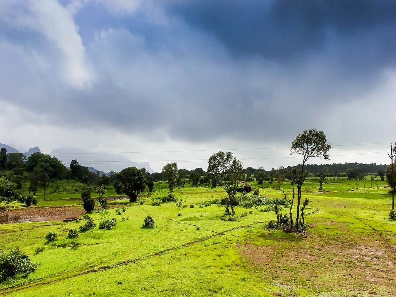
Bhubaneswar/UNI: Widespread rains are expected to lash Odisha under the influence of a low pressure area formed on Thursday.
According to the Centre for Environment and Climate (CEC) of Siksha ‘O’ Anusandhan (SOA), the low pressure has been formed over north-west Bay of Bengal along the Odisha coast.
The system may lie over the Odisha coast tomorrow and subsequently move in a northern direction towards Bihar on Saturday afternoon, a CEC bulletin said.
Under its influence, moderate rainfall may be experienced over most places over Odisha with the probability of heavy rainfall in the districts of Khurda, Puri, Nayagarh,Cuttack,Jajpur, Bhadrak, Kendrapara, Dhenkanal, Angul, Nabarangpur, Kalahandi, Kandhamal, Sonepur, Boudh, Bolangir, Nuapada and Rayagada on the night of July 22 and 23.
There is also a probability of formation of another low pressure area over Bangladesh and adjoining north Bay of Bengal on July 28 which could move in a north-westerly direction through West Bengal, Jharkhand and Bihar.
Its influence is likely to continue till August 1, the bulletin said.
This could trigger moderate to heavy rainfall in Odisha’s districts of Balasore, Mayurbhanj, Keonjhar, Sundargarh, Deogarh, Jharsuguda, Sambalpur, Bargarh, Angul and Jajpur between July 28 afternoon and July 30,
Support Our Journalism
We cannot do without you.. your contribution supports unbiased journalism
IBNS is not driven by any ism- not wokeism, not racism, not skewed secularism, not hyper right-wing or left liberal ideals, nor by any hardline religious beliefs or hyper nationalism. We want to serve you good old objective news, as they are. We do not judge or preach. We let people decide for themselves. We only try to present factual and well-sourced news.
Support objective journalism for a small contribution.