 Cyclone Yaas
Yaas: Well marked low-pressure area in Bay of Bengal to concentrate into Depression, says Met officials
Hyderabad/UNI/IBNS: The well-marked low-pressure area over East-central Bay of Bengal persists along with the associated cyclonic circulation extending upto mid-tropospheric levels and it is very likely to concentrate into a depression during next six hours, met officials said.
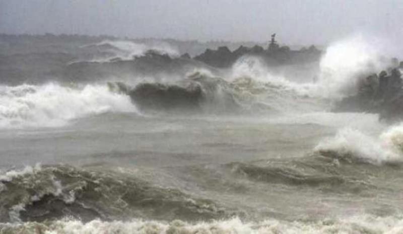
It is very likely to move north--northwestwards, intensify into a Cyclonic Storm by May 24 and further into a very severe Cyclonic Storm during subsequent 24 hours, Meteorological Centre said in a special bulletin here on Sunday.
It would continue to move north-northwestwards, intensify further and reach north Bay of Bengal near West Bengal and adjoining north Odisha & Bangladesh coasts around May 26 morning. It is very likely to cross West Bengal and adjoining north Odisha & Bangladesh coasts around evening of May 26.
The cyclonic circulation over Marathwada & neighbourhood extending upto 1.5 km above mean sea level has become less marked.
The east-west shear zone roughly along latitude 14°N between 3.1 km & 7.6 km above mean sea level has become less marked, the bulletin added.
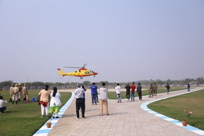
Meanwhile, the IAF is airlifting 21 tons of HADR equipment and 334 personnel of NDRF from Patna & Varanasi to Kolkata and from Arakkonam to Port Blair, utilising 5 C-130 aircraft.
This is in preparation for the approaching Cyclone Yaas, and the operations are ongoing since 21 May 21.
Till date the IAF has airlifted 606 personnel and 57T load of NDRF for this purpose, read an official statement.
.jpg)
The cyclone is expected to make landfall on the West Bengal and adjoining Odisha coast on Wednesday, 26 May 21. The IAF has kept 1 C-17, 1 IL-76, 3 C-130s, 4 An-32s and 2 Dornier transport aircraft on readiness for HADR task. Additionally, 11 Mi-17V5s, 2 Chetaks, 3 Cheetahs, 2 ALH Dhruvs and 7 Mi17 helicopters are also on alert for any eventuality.
Support Our Journalism
We cannot do without you.. your contribution supports unbiased journalism
IBNS is not driven by any ism- not wokeism, not racism, not skewed secularism, not hyper right-wing or left liberal ideals, nor by any hardline religious beliefs or hyper nationalism. We want to serve you good old objective news, as they are. We do not judge or preach. We let people decide for themselves. We only try to present factual and well-sourced news.
Support objective journalism for a small contribution.